Why Google Pulled Its AI Image Tool From Google Earth After One Day
Google added AI image generation to Google Earth, then pulled it a day later. Here is what that says about generative AI meeting a tool people trust as real.
On July 30, 2026, Google let anyone generate an AI image of any spot on Google Earth, real coordinates included. By July 31, it had pulled the feature. That one-day gap is the whole story: it shows exactly how fast trust can wobble when you point a fake-image generator at a map people rely on to know what a real place actually looks like.
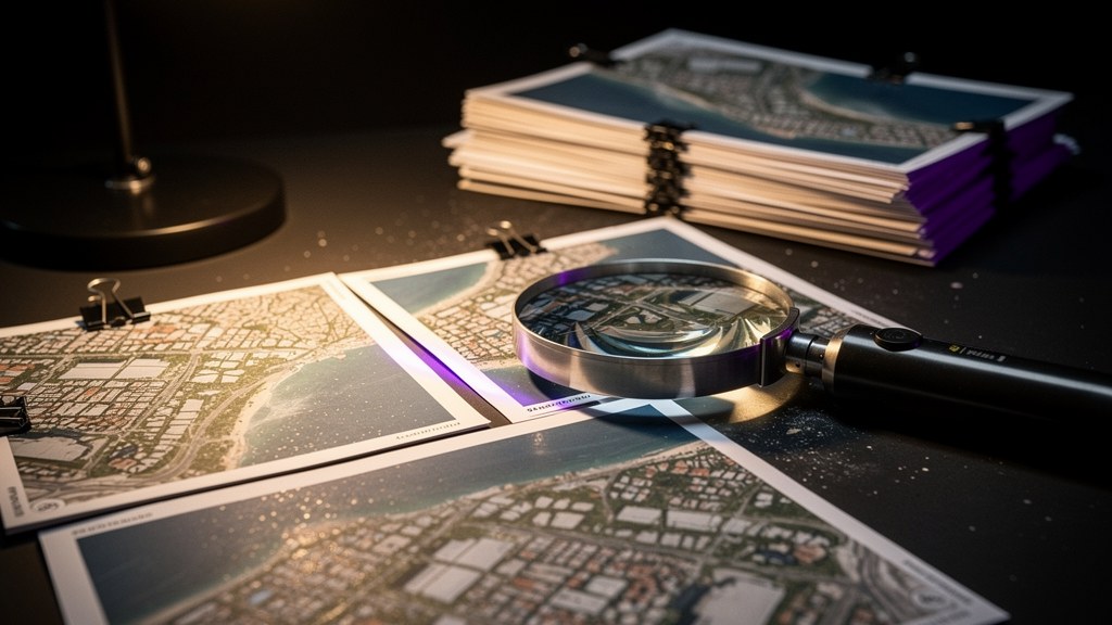
The feature itself was simple enough. Type a prompt, and Google Earth would generate an AI image showing some imagined scene at a location you picked on the satellite map, a flooded street, a building on fire, a city skyline redesigned. Google built in safeguards: the generated images looked visually distinct from the real satellite photography, and each one carried an invisible digital watermark called SynthID, a system Google uses to mark AI-generated content so it can be detected later, even after screenshots or edits. The intent was clear. Let people be creative on the map, but never let them mistake the result for a real photo of a real place.
It did not hold. Within about a day, people were generating and sharing screenshots that broke Google’s own content rules, described in early reporting as deepfake-style or offensive imagery anchored to real, identifiable locations. A deepfake, for anyone who has not run into the term, is a synthetic image or video convincing enough to pass for the real thing at a glance. Attach that kind of fabrication to an actual street address instead of an anonymous stock photo, and the problem stops being abstract.
The model behind it, in one paragraph
The generator itself is not new or mysterious. It runs on what Google DeepMind nicknames Nano Banana, its family of Gemini image-generation models. The version behind the Google Earth feature is officially called Gemini 3.1 Flash Image, known informally as Nano Banana 2, which combines the stronger image quality of an earlier “Pro” version with the speed of Google’s lighter Flash models. None of that matters much on its own. Image generators improve every few months and this one will too. What matters is where Google chose to plug it in. For a sense of how much a model’s exact tier changes what it is safe to trust it with, the same question comes up when comparing why a pricier AI model earns its cost over a cheaper one: capability alone never settles where a tool belongs.
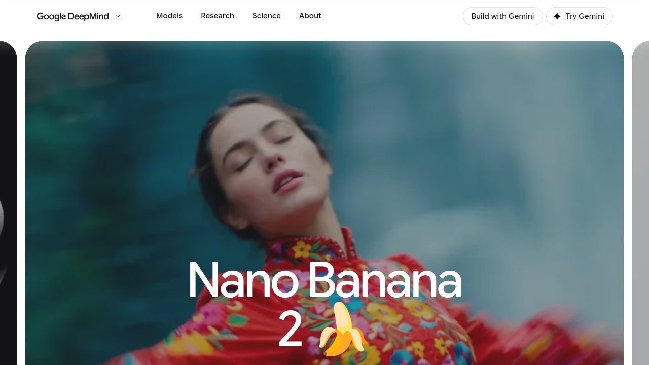 Gemini 3.1 Flash Image — Google DeepMind’s official page for the Nano Banana 2 model behind the Google Earth feature.
Why a map is a different kind of product
Most places generative AI has landed so far are tools where the user already knows the output might be fabricated. A chat assistant, a photo editor, a meme generator: nobody mistakes the output for documentary evidence, because the whole premise is that you asked for something invented. Google Earth is built on the opposite premise. Its entire value, for a huge and quiet slice of its users, is that the imagery is real. Journalists cross-check a location before publishing a story. Disaster response teams look at recent satellite passes to see what actually flooded or burned. So do people doing open-source investigation, sometimes shortened to OSINT, meaning research done entirely from public material like satellite photos, social posts and public records, rather than classified or leaked sources, to verify claims about real events.
For all of those uses, a single believable fake tied to a real coordinate does more damage than a thousand obviously-fake memes. It does not have to fool an expert. It just has to fool someone fast enough, on a platform whose whole reputation rests on being the trustworthy version of “look at the actual place.” That is why the watermarking and the visual separation, careful as they were, were not enough. A safeguard that only works when a viewer knows to check for it does not survive a screenshot passed around without context. SynthID can tell a machine that an image was generated. It does nothing for the person scrolling past a shared photo with no idea it came from Google Earth’s prompt box at all.
Why the rollback was fast, not a slow patch
Companies usually patch problems gradually: tighten a filter, add a warning, watch the numbers, adjust again. Google pulled this feature in about a day instead, and that speed is itself informative. On a reference platform, the cost of “someone believed a fake” is not the same shape as the cost of “someone got a mediocre chatbot answer.” A wrong chatbot reply gets corrected in the next message. A convincing fake tied to a real place can outlive the correction, especially once it is a screenshot floating around outside the app that generated it, stripped of any context saying it was ever fictional.
Google’s own framing, per its public statements about the rollback, was that the tool had genuine value for geospatial professionals working with mapping data, but needed stronger guardrails before it belonged in a tool this widely used as a factual reference. That framing matters for how you should read this: it is described as a pause, not a cancellation. The Nano Banana 2 model keeps shipping everywhere else Google uses it. Only its presence inside Google Earth specifically got pulled back, because Google Earth’s job is different from every other app that model touches.
The pattern this points to
Strip away the specific model name and the specific map, and the underlying tension is not going away, because it is not really about Nano Banana. It shows up anywhere a company adds a generative feature to a platform whose core value is being a faithful record of reality rather than a creative tool. A weather archive. A court records database. A stock photo library sold as documentary. A mapping app used for insurance claims. Each of those has the exact same fault line: the moment users can generate something convincing and attach it to something real, whether a date, a location, a document number, the platform’s core credibility is what is at stake, not just that one feature’s reputation.
That is worth holding onto specifically because it will keep happening. The next version of this model, or a rival’s version, will ship with better filters and clearer labeling, and some company will try again to add generative image tools to a trust-based platform. The technical safeguards will keep improving. The structural problem, that a reference tool’s entire job is to be believed and a generator’s entire job is to invent, will not resolve itself through a better watermark. It gets managed feature by feature, platform by platform, and sometimes managed by pulling the feature back out until the guardrails catch up.
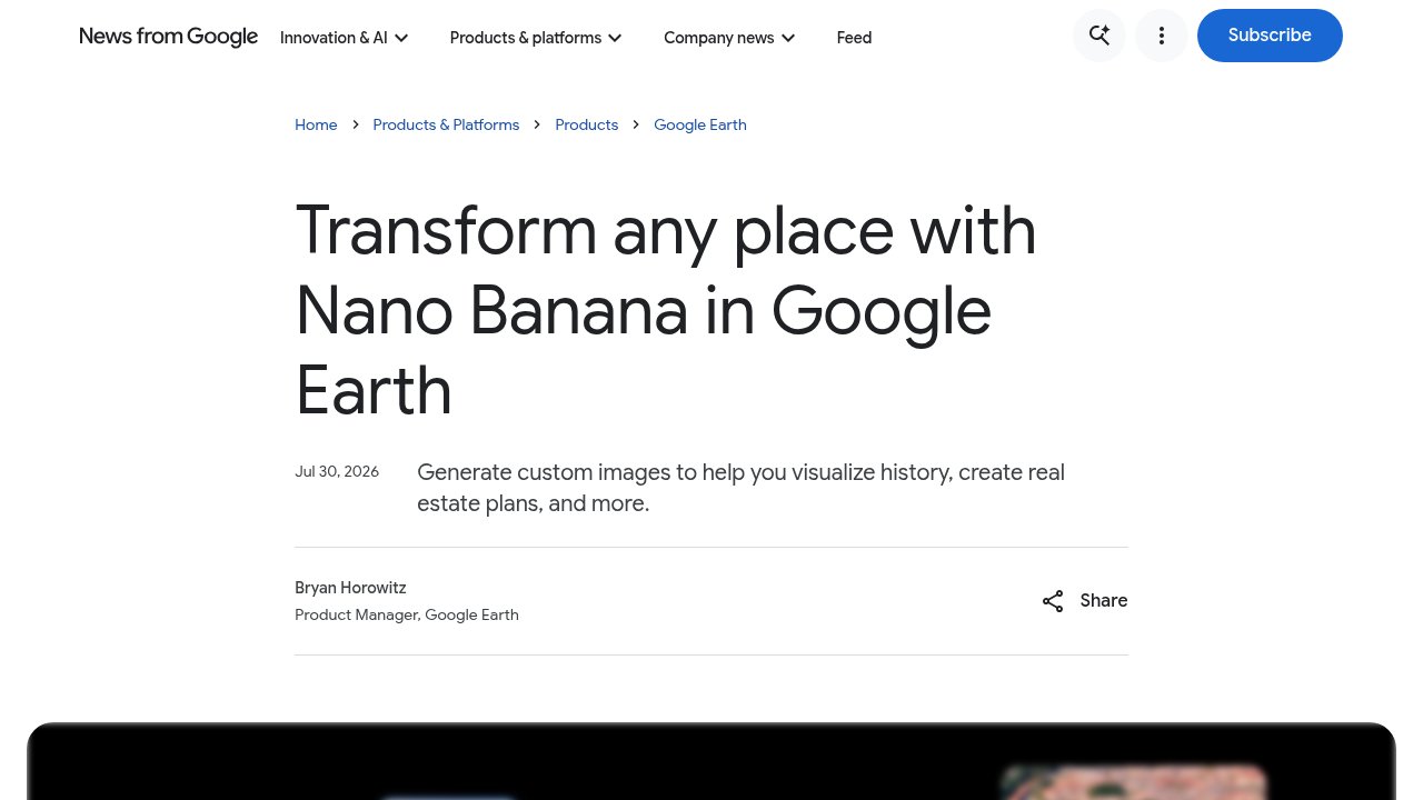 Transform any place with Nano Banana in Google Earth — Google’s own post, updated with the rollback notice at the top.
What this means if you use Google Earth
Nothing changes for the ordinary use of Google Earth today. The satellite and map imagery you see is the same imagery it has always been, untouched by this feature or its removal. If you happen to come across an AI-generated image claiming to show a real place, and it does not carry Google’s own labeling, treat it the way you would any unverified image found online: assume it needs a second source before you believe it, especially if it is tied to a specific address or event you cannot independently confirm.

FAQ
What is Nano Banana in Google Earth?
Nano Banana is Google DeepMind’s nickname for its family of Gemini image-generation models. The version tied to this Google Earth feature, called Nano Banana 2 or officially Gemini 3.1 Flash Image, let users generate AI images of invented scenes at real map locations before Google rolled the feature back on July 31, 2026.
Why did Google remove the AI image feature from Google Earth?
Google paused the feature because, despite watermarking and visual separation from real satellite imagery, people were generating and sharing screenshots that violated its content policies, described in reporting as deepfake-style or offensive images tied to real locations, which raised concerns about trust in a platform used for journalism and disaster response.
Is the Nano Banana model itself discontinued?
No. Google’s rollback affected only the feature’s placement inside Google Earth. The underlying Nano Banana 2 model, officially Gemini 3.1 Flash Image, continues to ship in other Google products; Google described the Earth rollback as a pause while it builds stronger guardrails, not a cancellation of the model.
What is SynthID and why didn’t it prevent the problem?
SynthID is Google’s invisible digital watermark that marks AI-generated content so it can be identified later, even after edits or screenshots. It correctly labeled the images as synthetic, but that label was only detectable through Google’s own tools, so it did nothing to stop a screenshot from circulating elsewhere, stripped of any indication it was ever AI-generated.
Could a feature like this come back to Google Earth?
Possibly, since Google framed the removal as a pause rather than a permanent end. But any return would need guardrails that survive a screenshot losing its context entirely, since the visible separation and the invisible watermark used in the July 2026 version were not enough to stop misleading images from spreading once they left the app.
Generative AI and reference platforms will keep colliding, not because any single model is careless, but because the two purposes point in opposite directions: one is built to invent convincingly, the other is trusted precisely because it does not. Google’s one-day rollback was not an overreaction to a glitchy feature. It was a company recognizing, quickly, that the cost of getting this wrong on a platform people use to verify reality is not the same as getting it wrong anywhere else.